Driving the Pan-American Highway: Top Segments to Explore in 2027
25 September 2026
Let's get one thing straight before we go anywhere: the Pan-American Highway is not a single road. It is a loose, sprawling, occasionally philosophical agreement between a dozen countries that they will, more or less, maintain something resembling pavement between Alaska and Argentina. There is no central authority. There is no unified signage. There is no loyalty program. What exists is roughly 30,000 kilometers of highway, dirt track, mountain switchback, desert void, and jungle mud, stitched together by ambition and the stubborn belief that a road should connect two continents.
People love to call it the world's longest motorable road. That word, "motorable," is doing an enormous amount of heavy lifting. The Darien Gap, a 100-kilometer stretch of dense jungle between Panama and Colombia, has no road at all. You ship your vehicle around it or you turn back. That single fact tells you almost everything you need to know about this highway: it is a concept as much as it is a route, and the experience changes dramatically depending on which segment you choose.
This article is about the segments worth your time in 2027. Not all of them. Not the ones that exist only to pad a bucket list. The ones where the driving itself justifies the fuel, the paperwork, and the questionable motel breakfasts.
Why the Highway Resists a Single Narrative
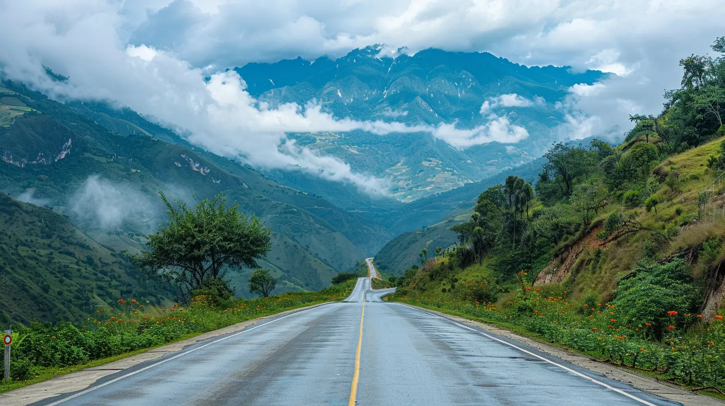
Most travel writing treats the Pan-American Highway as one continuous adventure, a rite of passage for overlanders with rooftop tents and Instagram accounts. This framing is misleading and, frankly, a little lazy.The highway passes through wildly different climates, altitudes, economies, and security situations. Driving northern Canada in February and driving southern Ecuador in July are not variations on a theme. They are different sports. A segment that delights one traveler will bore or terrify another. Someone who loves the emptiness of the Atacama will find the traffic chaos of Lima unbearable, and vice versa.
So the useful question is not "should I drive the Pan-American Highway?" It is "which segments match my tolerance, my budget, my vehicle, and my timeline?" That is the question this article actually answers.
How to Judge a Segment Before You Commit
Before we get into specific stretches, here is the framework I use, and the one you should apply to any route claiming to be "unmissable."Driving quality versus scenery. Some segments are magnificent to look at but miserable to drive. Others are a joy behind the wheel but visually forgettable. Very few deliver both. Know which one you are prioritizing.
Logistics density. How often do fuel stations, mechanical help, and decent lodging appear? A 500-kilometer stretch with nothing is romantic until something breaks.
Border and paperwork friction. Some crossings take 45 minutes. Some take a full day and a bribe you did not budget for. This is not a small variable.
Altitude and climate windows. Many of the best segments sit above 3,000 meters or below sea level, and the timing of your trip matters more than the route itself.
Vehicle suitability. A rugged 4x4, a standard sedan, and a motorcycle each unlock and close different segments. Pretending otherwise gets people stranded.
Keep those five factors in mind. Now, the segments.
Segment 1: The Alaska Highway and Northern Approaches
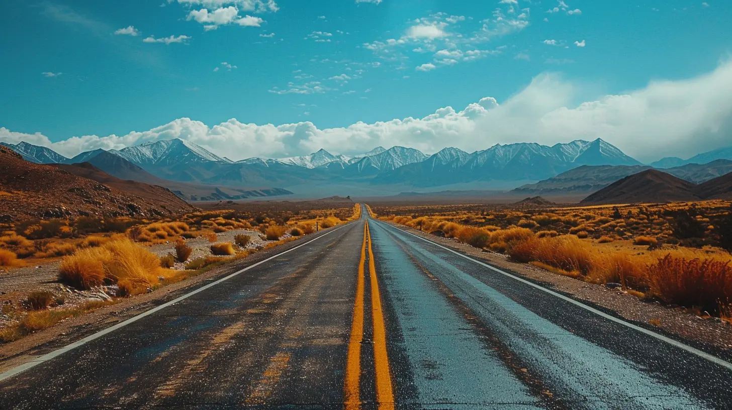
Strictly speaking, the Pan-American Highway's northern terminus is a matter of some debate, but the Alaska Highway from Dawson Creek, British Columbia, to Delta Junction, Alaska, is the classic starting line. It is roughly 2,200 kilometers of boreal forest, muskeg, and long, long silences.Why it works
The Alaska Highway is a masterclass in scale. You drive for hours without seeing a building, then a single gas station appears like a mirage with a coffee machine. Wildlife is genuinely present: bison on the road, bears at the treeline, moose with no survival instinct whatsoever. The road itself is mostly paved and well maintained, though frost heaves will remind you that the ground here never fully relaxes.The catch
This is not a summer beach drive. The window is narrow, roughly late May through September. Outside it, you are gambling with ice, snow, and closures. Services are sparse, fuel intervals can stretch past 200 kilometers, and a mechanical failure in the wrong place is a genuine problem, not an inconvenience.Who should drive it
Travelers who value emptiness and self-reliance over comfort. If you need a cafe every two hours, this segment will feel like punishment.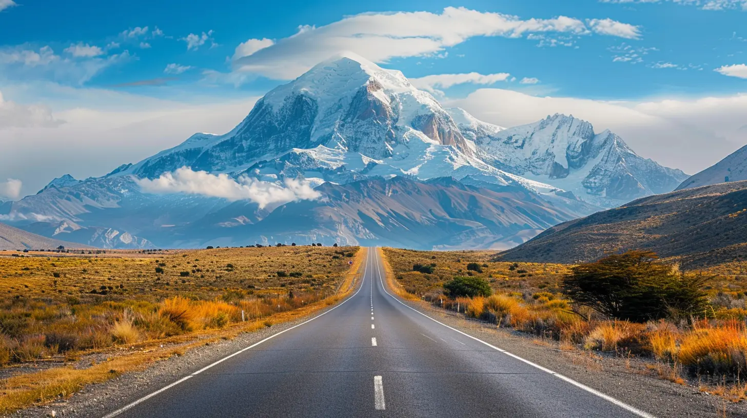
Segment 2: The Canadian Rockies and the U.S. Intermountain West
Once you cross into Alberta and British Columbia proper, and then drop into Montana, Wyoming, and Utah, the highway becomes something else entirely: a greatest-hits album of North American geology.What makes it strong
This stretch combines genuine driving pleasure with infrastructure. You get the Going-to-the-Sun Road in Glacier National Park, the sweeping valleys of Montana, and the red rock of southern Utah within a few days of each other. Fuel, food, and lodging are abundant. Cell coverage is decent. Breakdowns are annoying rather than existential.The trade-off
It is popular. In July, Glacier National Park's main road can feel like a parade. Campgrounds book out months ahead. You are trading solitude for convenience, and that is a fair trade for many people, but be honest about which camp you are in.Practical note
Vehicle size matters here. The Going-to-the-Sun Road has length restrictions, and oversized rigs are simply not allowed. Check the rules before you commit your setup to this route.Segment 3: Mexico's Pacific Coast and Central Highlands
Mexico is where the Pan-American Highway stops being a North American road trip and becomes an international expedition. It is also, in my view, the most underrated segment on the entire route.Two very different Mexicos
You have a choice here, and it is a real one. The Pacific coast route, roughly following Highway 200 and the newer toll roads, gives you surf towns, seafood, and humidity. The central highlands route, through Guadalajara, Guanajuato, San Miguel de Allende, and Oaxaca, gives you colonial architecture, cooler air, and arguably the best food in the country.Why the highlands usually win
The highlands offer better driving, more consistent fuel and lodging, and a cultural density that the coast cannot match. The roads are winding but well engineered. The altitude, often above 1,800 meters, keeps temperatures pleasant year round.The honest caveats
Toll roads in Mexico are expensive, sometimes shockingly so, but they are faster and generally safer than the free alternatives. Driving at night outside cities is a bad idea, full stop. Topes, the speed bumps that appear without warning, will destroy a low-clearance vehicle's suspension if you ignore them. And yes, you need Mexican auto insurance. Your home policy does not cover you here, no matter what your cousin told you.
Segment 4: Central America's Volcano Spine
Guatemala, El Salvador, Honduras, Nicaragua, and Costa Rica form a chain of volcanoes, coffee farms, and border crossings that test your patience in direct proportion to their beauty.The standout: Guatemala
The drive from Guatemala City toward Lake Atitlan and then up to Antigua is short but dramatic. Volcanoes on the horizon, indigenous markets, and roads that climb and drop like a pulse. It is genuinely spectacular.The reality check
Central America is where paperwork becomes a hobby. Each country has its own vehicle import process, its own fees, and its own interpretation of the rules. The CA-4 agreement, which allows free movement between Guatemala, El Salvador, Honduras, and Nicaragua, helps with people but not always with vehicles in the way travelers hope. Budget a full day for some crossings. Budget patience for all of them.Costa Rica's divergence
Costa Rica is the outlier. It is more expensive, more tourist-oriented, and its roads, especially outside the central valley, are often worse than its reputation suggests. But it is also the easiest place in the region to find quality lodging, good coffee, and a mechanic who speaks English.Segment 5: The Darien Gap, or Rather, the Lack of It
This is not a segment you drive. This is a segment you avoid, and understanding why is essential.The Darien Gap is a roadless stretch of jungle between Panama and Colombia. There is no highway. People have attempted to cross it with vehicles, and some have succeeded, but it involves shipping, barging, or extreme off-road expeditions that cost thousands of dollars and weeks of time. For the vast majority of travelers, the vehicle goes on a ship from Panama to Colombia, and you fly.
Why this matters for planning
If you are planning a full north-to-south run, the Darien Gap is not a detour. It is a logistical project. Shipping a vehicle between continents requires a freight agent, customs clearance on both ends, and often a week or more of waiting. Plan it as a separate phase of your trip, not an afterthought.
Segment 6: The Ecuadorian Avenue of the Volcanoes
Once you are in South America, the Ecuadorian highlands deliver one of the most concentrated stretches of dramatic scenery on the entire highway. The Avenue of the Volcanoes runs south from Quito through Riobamba and Cuenca, flanked by peaks like Cotopaxi and Chimborazo.Why it earns a spot
The driving is engaging without being brutal. The altitude is high, often above 3,000 meters, so your vehicle loses power and you lose breath. But the road is generally well maintained, and the towns along the way are genuinely pleasant. Cuenca in particular is a good place to pause, rest, and get work done on the vehicle.What to watch
Altitude sickness is real and does not care how tough you think you are. Give yourself a day or two to acclimate before pushing hard. Also, fuel quality varies. Diesel in particular can be inconsistent, so carry a spare filter and know how to change it.Segment 7: Peru's Coastal Desert and Andean Divide
Peru is enormous, and the highway splits into a coastal route and a mountain route. Both are worth considering, and both have serious trade-offs.The coastal route
The Panamericana along Peru's coast is fast, straight, and profoundly dry. The Atacama's northern reaches bleed into Peru, and the landscape is lunar. Fuel and towns are regular. The downside is monotony. Hundreds of kilometers of sand and rock can wear you down.The mountain route
Cutting inland through Arequipa, Cusco, and the altiplano gives you the Andes in full force. This is where the driving becomes demanding: steep grades, hairpin turns, and altitude above 4,000 meters. It is also where the reward is highest.The honest recommendation
If you have time, do both. Take the coast south, then cut inland for the return or vice versa. If you must choose, the mountain route is more memorable but requires a vehicle in good condition and a driver comfortable with altitude and cliffs.
Segment 8: Chile and Argentina, the Southern Cone
The final major stretch runs down through Chile's Atacama, into the central valley, across the Andes into Argentina, and eventually toward Patagonia. This is the segment people imagine when they picture the Pan-American Highway: vast, windswept, and cinematic.Chile's Carretera Austral
Technically a branch rather than the main highway, the Carretera Austral is the crown jewel of southern Chile. It is roughly 1,200 kilometers of gravel, fjords, glaciers, and almost no traffic. It is also slow, remote, and unforgiving. Fuel intervals are long, ferries are required, and weather changes without warning.Argentina's Ruta 40
Running parallel on the Argentine side, Ruta 40 offers a different flavor: steppe, wine country, and the long, straight roads of Patagonia where the wind tries to remove your door. It is more developed than the Carretera Austral but still demands respect.When to go
The southern cone has a clear season. November through March is the window. Outside it, snow closes passes and services shut down. This is not flexible.Common Mistakes That Ruin the Trip
Let me save you some pain.Treating it as one trip. The full highway takes months, sometimes more than a year, and most people who attempt it in a few weeks end up driving past everything that matters. Pick segments.
Ignoring paperwork timelines. Vehicle import permits, insurance, and shipping bookings take weeks. Starting late means waiting somewhere you did not plan to wait.
Overbuilding the vehicle. A heavily modified expedition rig attracts attention, burns fuel, and is harder to ship. Most segments are fine with a reliable, modest vehicle.
Underestimating altitude and weather. The Andes and Patagonia do not negotiate. Plan around seasons, not around your vacation days.
Assuming the road is the road. Signage is inconsistent, GPS is sometimes wrong, and locals are your best navigation tool. Ask.
Final Thoughts
The Pan-American Highway is not a checklist item. It is a menu, and the smartest travelers order selectively. The Alaska Highway teaches you solitude. Mexico's highlands teach you rhythm. Central America teaches you patience. The Andes teach you humility. Patagonia teaches you that wind is a personality trait.In 2027, the highway will still be imperfect, still fragmented, still occasionally infuriating. That is precisely why it remains one of the great drives on Earth. Choose your segments with your eyes open, and it will reward you in ways no smooth, well-signposted motorway ever could.
all images in this post were generated using AI tools
Category:
Iconic RoutesAuthor:

Reed McFadden