Experience the Magic of Norway’s Atlantic Road in 2026
22 October 2026
Some roads take you from point A to point B. Norway's Atlantic Road grabs that expectation, throws it into the sea, and hands you back something else entirely: a ribbon of asphalt that leaps between islands, skims the ocean surface, and makes you pull over every few minutes because your brain refuses to accept what your eyes are seeing. If you're planning a trip to Norway in 2026, this is the stretch of tarmac that should sit near the top of your list. Not because it's the longest drive, or the fastest, or the most convenient. Because it's one of the few roads on earth that functions as a destination in its own right.
Let's talk about what the Atlantic Road actually is, how to experience it properly, when to go, what to skip, and the mistakes that turn a bucket-list drive into a disappointing blur out of a car window.
What the Atlantic Road Really Is (and What It Isn't)
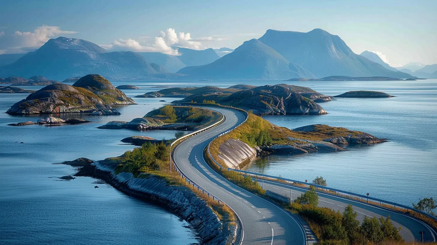
The Atlantic Road, known in Norwegian as Atlanterhavsvegen, is an 8.3-kilometer section of County Road 64 in the municipality of Hustadvika, in Møre og Romsdal county. It links the mainland near Bud with the island of Averøy, hopping across a series of small islands and skerries via eight bridges. The most famous of these, the Storseisundet Bridge, arcs so dramatically over the water that photos of it have circulated online for years, often captioned as the "road to nowhere" or the "drunk bridge."Here's the first thing to get straight: it is not a road to nowhere. It's a fully functional piece of infrastructure that locals use to get to work, school, and the grocery store. The tourism industry has built an identity around it, and that identity is earned, but the road's everyday purpose matters. Understanding that keeps your expectations grounded and helps you behave like a guest rather than an intruder.
Second: it's short. You can drive the whole thing in under fifteen minutes if you don't stop. The magic isn't in covering distance. It's in what happens when you slow down, get out of the car, and let the place work on you. Treat it as a quick photo stop and you'll miss almost everything that makes it worth the trip.
Third: the road is free to drive. There's no toll on this section. That surprises people who assume a famous scenic route must come with a ticket booth. It doesn't. Your costs will come from everything around the drive, not the drive itself.
Why the Road Exists at All
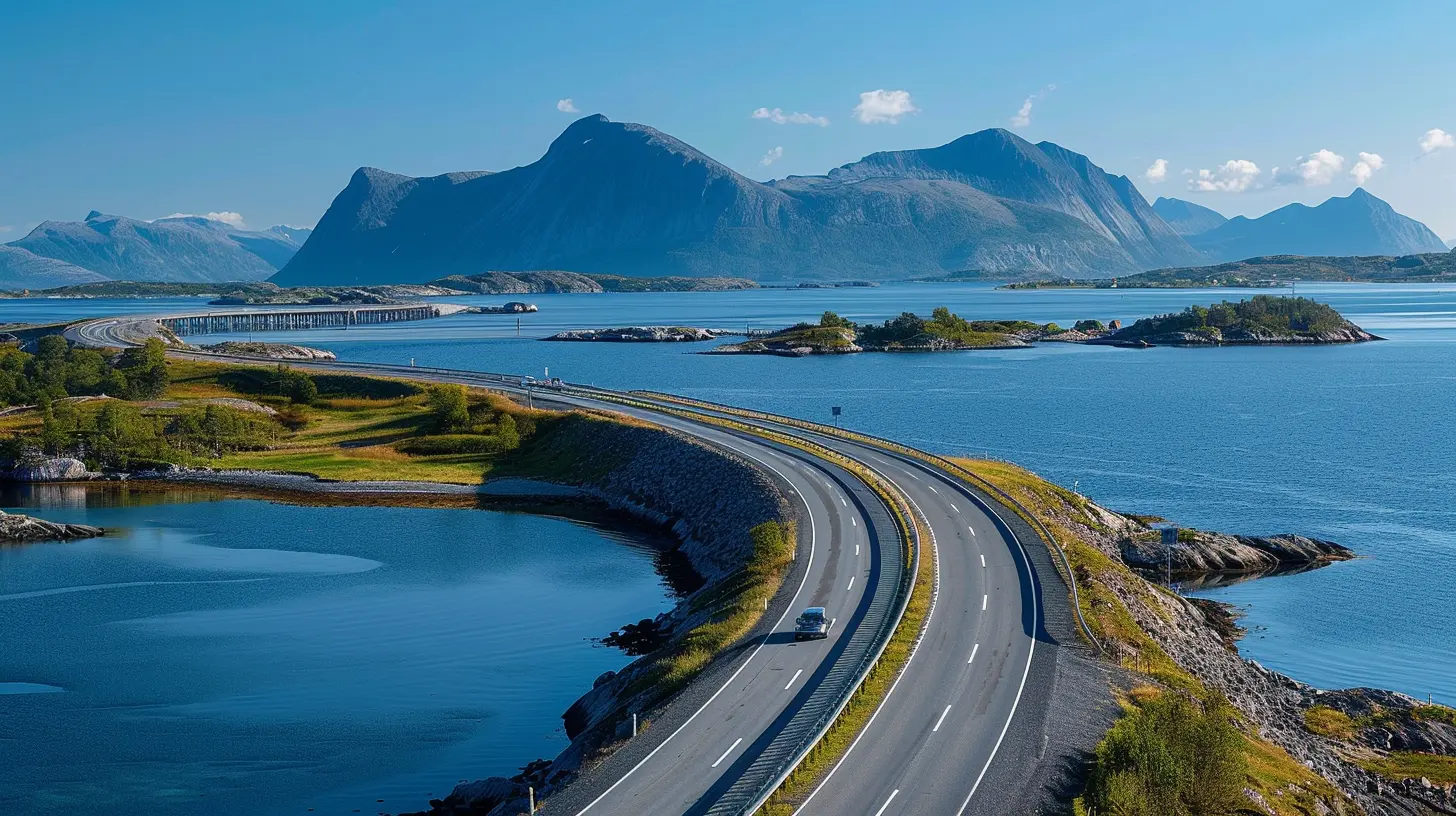
A common misconception is that the Atlantic Road was built purely for tourists. It wasn't. The route opened in 1989 after years of planning and construction, and its purpose was to connect communities that had previously depended on ferries and boats. Storms, currents, and the open sea made this stretch of coast genuinely difficult to bridge. The engineering that went into it reflects that difficulty. The bridges are designed to withstand harsh weather, and the road's low profile over the water is a deliberate response to the environment, not a stylistic choice.Knowing this changes how you see it. The curves and crests that look theatrical in photos are functional solutions to real problems. The Storseisundet Bridge rises steeply because it has to clear the water and provide a navigation channel. The dramatic angle that makes it famous is a byproduct of engineering necessity, which somehow makes it more impressive, not less.
The Bridges, One by One
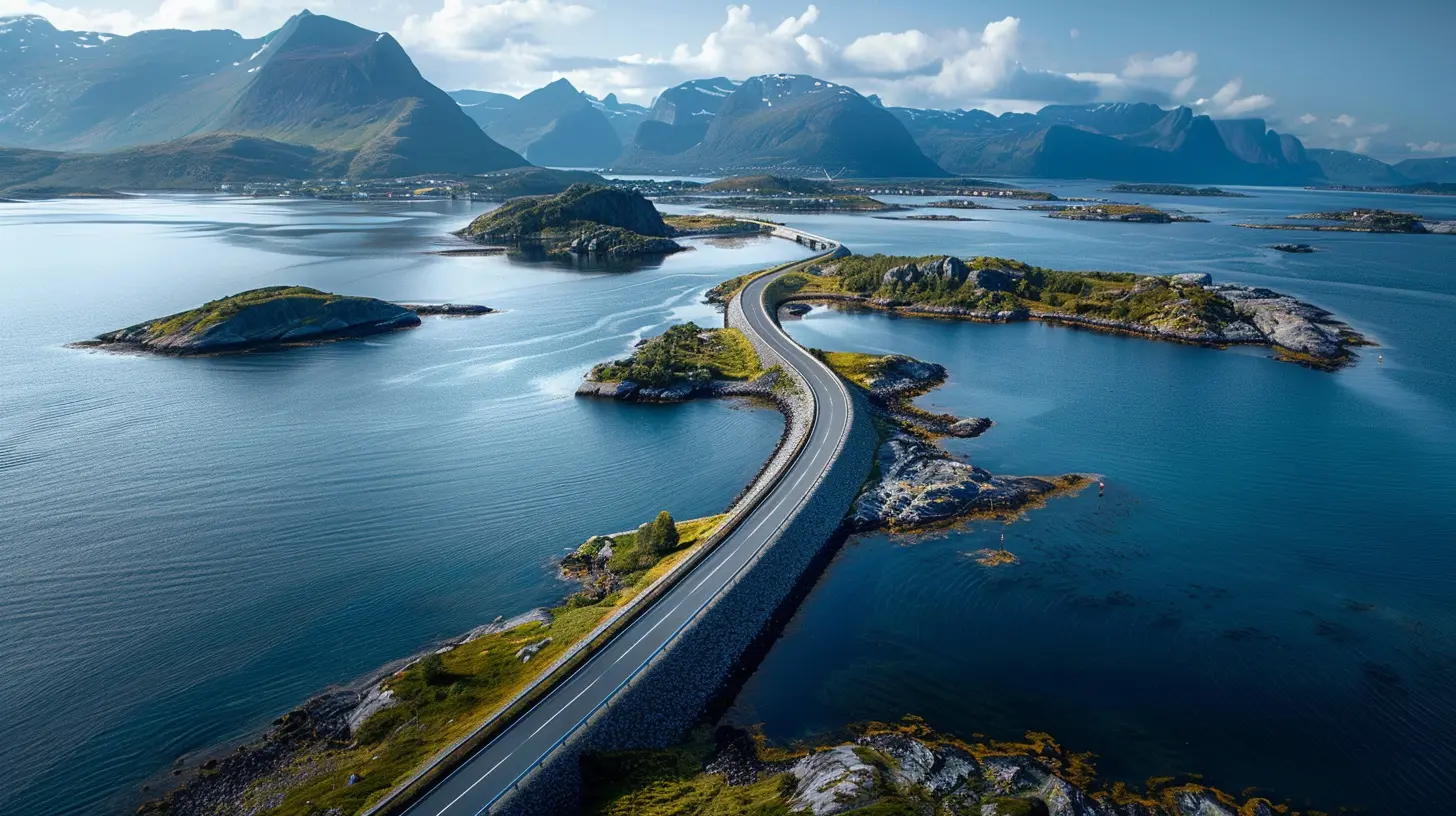
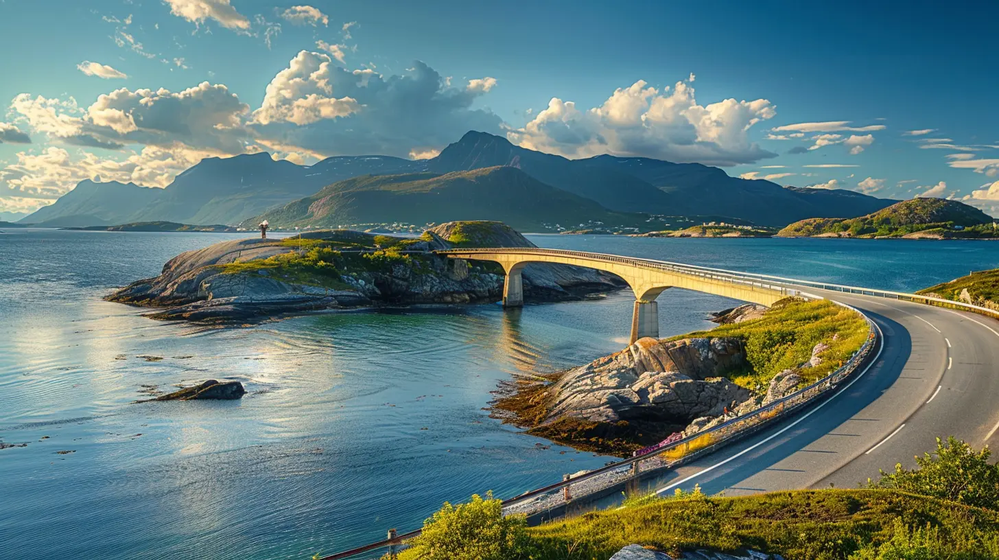
There are eight bridges along the route, and each has its own character. You don't need to memorize them, but knowing what you're looking at adds depth to the drive.The Storseisundet Bridge is the headline act. Its curve is so pronounced that from certain angles it appears to end in mid-air. This is an optical illusion created by the bridge's cantilever design and the viewing angle, and it's the shot everyone wants. The best views of it are not from the road itself but from the parking areas and paths nearby, particularly on the Averøy side.
The other bridges cross smaller channels and skerries, and collectively they create the sensation of driving across the sea rather than beside it. Several have dedicated viewing platforms and fishing spots. The route also passes close to small islands with walking trails, picnic areas, and birdlife. If you only remember the Storseisundet Bridge, you'll have seen the postcard but missed the album.
When to Go in 2026: Season by Season
Timing is the single biggest variable in your experience, and it deserves more thought than most travelers give it.Summer (June to August)
This is peak season, and for good reason. Long daylight hours mean you can drive at 10 p.m. and still have light. The sea is calmer more often, the temperatures are mild, and every facility is open. The trade-off is crowds, especially around midday and on weekends. Parking areas fill up. The Storseisundet viewpoint gets busy. If you want solitude, go early in the morning or late in the evening. The light at those hours is also better for photography, which is not a coincidence.Autumn (September to October)
Autumn is the connoisseur's choice. The crowds thin out, the light turns moody and dramatic, and the weather becomes more unpredictable. Storms roll in faster, and the sea shows its teeth. If you're chasing the iconic image of waves crashing over the road, this is your window, though you should never drive into standing water or ignore road closures. The road is engineered for this climate, but your rental car and your judgment are not.Winter (November to March)
Winter transforms the Atlantic Road into something stark and beautiful, but it also raises the difficulty level. Snow, ice, and short daylight hours mean you need to plan carefully. Some services close or run reduced hours. Driving conditions can change quickly. That said, a winter drive here, with the sea churning and the bridges outlined in frost, is a genuinely different experience from the summer version. Just go in with realistic expectations and check local road conditions before setting out.Spring (April to May)
Spring is underrated. The snow melts, the light returns, and the crowds haven't arrived yet. Weather can still be raw, but the sense of the coast waking up is real. If you want a balance of decent conditions and breathing room, late spring is a smart bet.How to Drive It Properly
The biggest mistake visitors make is treating the Atlantic Road as a drive-by attraction on the way to somewhere else. Here's how to do it right.Slow down and stop often
Plan for at least two to three hours on and around the road, not fifteen minutes. There are designated pull-offs, viewing platforms, and short walks. Use them. The road rewards interruption.Drive it in both directions
The experience changes depending on which way you're heading. The Storseisundet Bridge looks different from each side, and the sequence of islands and channels unfolds differently. If you have the time, drive it one way, turn around, and drive it back. It sounds excessive. It isn't.Get out on foot
Several islands along the route have walking paths, and there are marked trails near the bridges. Walking a short section of coastline gives you a perspective you cannot get from behind a windshield. The scale of the bridges becomes clearer, and the sounds of the sea replace the hum of the engine.Fish, if that's your thing
The Atlantic Road is a popular spot for sea fishing, and several platforms and rocks along the route are used by locals and visitors alike. If you want to try, bring appropriate gear and follow local rules. It's a quiet, unhurried way to spend an afternoon that most tourists never consider.
Common Mistakes and How to Avoid Them
Mistake one: Rushing the drive
Covered above, but it bears repeating. If your itinerary allots forty minutes to the Atlantic Road, you've scheduled a commute, not an experience.Mistake two: Ignoring the weather
The coast here is exposed and the weather changes fast. Check forecasts the morning of your drive. Wind is a real factor, especially on the bridges. If conditions are poor, adjust your plans rather than pushing through. The road will still be there tomorrow.Mistake three: Assuming the photos are the reality
The famous Storseisundet shot depends on a specific angle and often a specific lens. You may not replicate it on your phone from the roadside. That's fine. The point isn't to reproduce someone else's image. It's to see the thing yourself. Bring a wider perspective and you'll come home with better memories than a forced duplicate of a viral photo.Mistake four: Skipping the surrounding area
The Atlantic Road sits within a region worth several days of your time. Bud, a fishing village to the west, has a rich coastal history and a dramatic setting. Kristiansund, to the north, is a genuine working town with a distinctive culture. Averøy has its own attractions, including historic sites and coastal walks. Treating the road as an isolated stop shortchanges the whole region.Mistake five: Underestimating driving distances
Norway's roads are not fast roads. Mountain terrain, ferries, and speed limits mean your average speed will be lower than you expect. A route that looks short on a map can take considerably longer in practice. Build buffer time into your schedule, especially if you're connecting the Atlantic Road to other destinations.Where to Stay and Eat
Accommodation near the Atlantic Road ranges from campsites and cabins to hotels in nearby towns. Staying close means you can drive the route at off-peak hours, which is a significant advantage. A cabin near the coast, with the sea audible at night, is a different experience from a hotel room in town.Food options are limited directly along the route, so plan accordingly. Nearby towns have restaurants and cafes, and several accommodations offer meals. If you're self-catering, stock up before you arrive. Picnicking at one of the roadside areas, with the sea in front of you, is one of the simplest pleasures the area offers.
Practical Logistics for 2026
Getting there
The Atlantic Road is accessible by car from Molde and Kristiansund, both of which have connections to Norway's wider transport network. If you're flying in, Molde and Kristiansund have regional airports. Renting a car is the practical choice. Public transport exists but is limited and won't give you the flexibility the route demands.Tolls and ferries
While the Atlantic Road itself is toll-free, other parts of your journey may involve tolls or ferries. Norway's ferry system is efficient but adds time and cost. Factor this into your budget and schedule. The Atlanterhavstunnelen, an undersea tunnel connecting Averøy to the mainland, is a toll road, so check current rates if your route uses it.Driving rules and safety
Speed limits are strictly enforced. Seatbelts are mandatory. Headlights are required at all times. Wildlife and livestock can appear on rural roads. In winter, winter tires are required by law under certain conditions. These are not suggestions. Norwegian traffic rules are taken seriously, and fines are steep.Accessibility
The main viewpoints and parking areas are generally accessible, but some walking paths and fishing spots involve uneven terrain. If accessibility is a concern, check specific locations in advance rather than assuming.Is It Worth It?
Yes, with a caveat. The Atlantic Road is worth it if you give it time, respect the weather, and treat it as part of a larger journey through one of Norway's most striking coastal regions. It is not worth it if you're squeezing it into a tight schedule, expecting a theme-park experience, or hoping to tick it off a list without engaging with the place.The road's magic isn't in the asphalt. It's in the way the sea surrounds you, the way the bridges seem to defy physics, and the way a short drive can recalibrate your sense of scale. Give it the hours it deserves and it will give you something you'll remember long after the photos fade from your camera roll.
all images in this post were generated using AI tools
Category:
Iconic RoutesAuthor:

Reed McFadden