Experience the Balkans on the Via Dinarica Trail by 2026
21 October 2026
The Via Dinarica is one of Europe's most ambitious long-distance walking routes, a network of trails that threads through the Dinaric Alps from Slovenia through Croatia, Bosnia and Herzegovina, Montenegro, Albania, and into Kosovo and Serbia. It is not a single path but a family of routes, and that distinction matters enormously for anyone planning a journey. By 2026, interest in this corridor is likely to keep rising as travelers look for alternatives to crowded Alpine routes. This guide is written for people who want to understand how the trail actually works, where it rewards preparation, and where it punishes assumptions.
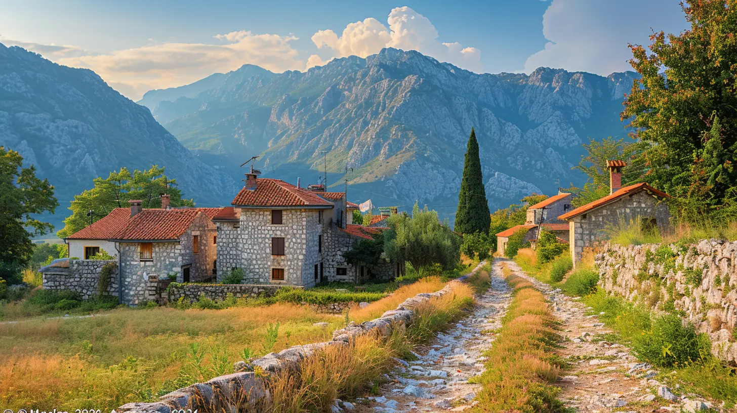
What the Via Dinarica Actually Is
Most long-distance trails are defined by a single line on a map. The Via Dinarica is better understood as three parallel corridors, each with a different character and difficulty profile.The White Trail follows the high limestone spine of the Dinaric Alps. It is the most demanding of the three, linking high passes, karst plateaus, and remote summits. The Green Trail runs through forested lowlands and river valleys, connecting rural communities and often following old trade routes. The Blue Trail traces the Adriatic hinterland and coastal mountains, mixing sea views with rugged inland terrain.
This structure is the trail's greatest strength and its most common source of confusion. A hiker who says "I walked the Via Dinarica" may have covered a few hundred kilometers on the Green Trail or several months on the White Trail. Both statements are legitimate, and neither implies the other.
The practical consequence is that you should never plan around the trail as a whole. Choose a corridor, then choose a section, then choose a season. That sequence prevents most of the mistakes covered later in this article.
Why the Trail Matters Beyond Recreation
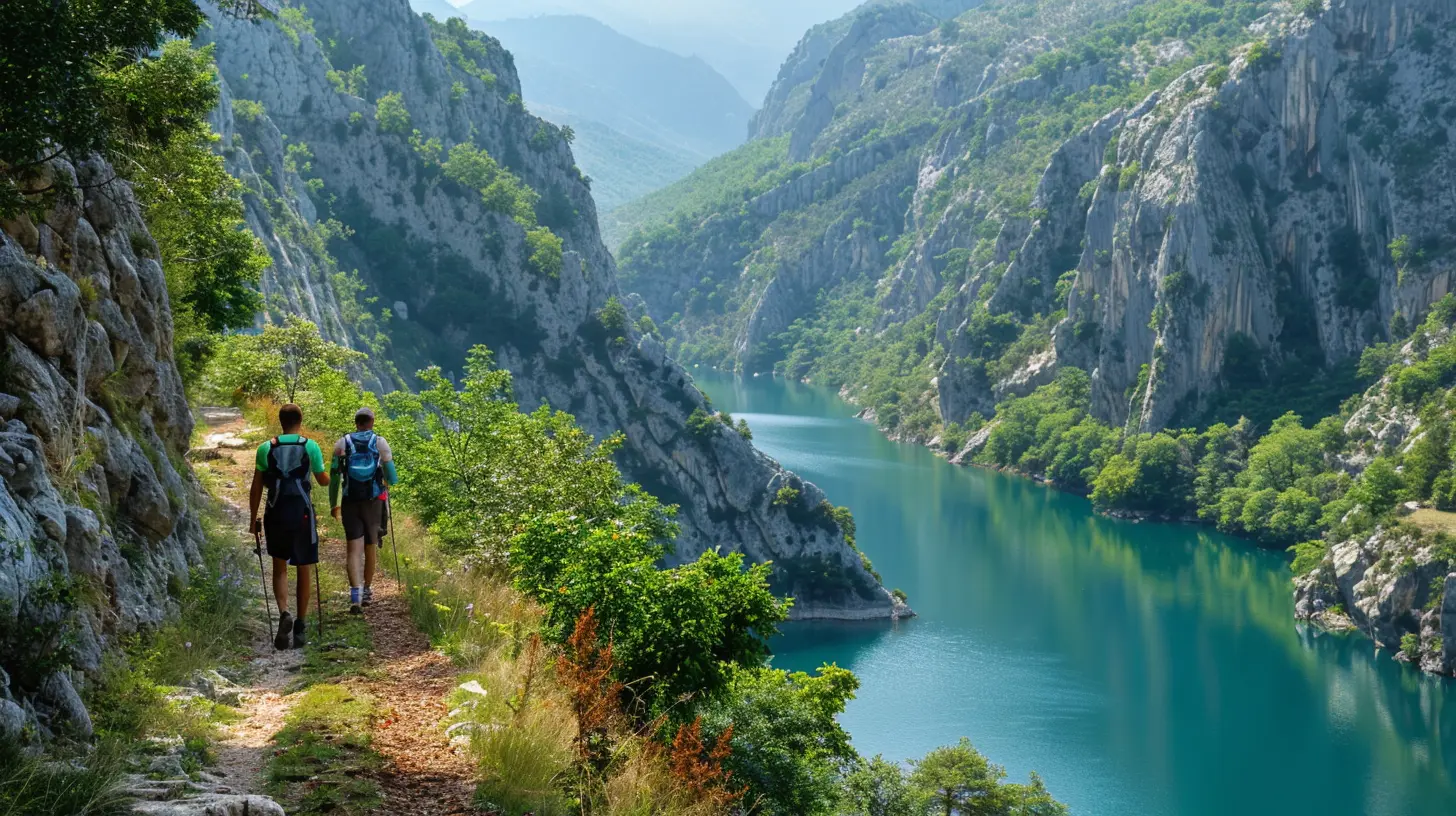
The Dinaric Alps are among the last genuinely wild mountain ranges in Europe. Large carnivores still move through these forests. Rivers run clear for long stretches. Villages in the highlands hold populations that have shrunk for decades, and the trail has become one of the few economic arguments for keeping guesthouses, bakeries, and bus routes alive.This gives the Via Dinarica a dual identity. It is a hiking route and a rural development project. Understanding that duality changes how you should behave on it. Spending money locally, hiring village guides where they exist, and staying an extra night in a small settlement does more for the trail's future than any trail maintenance donation. It also gives you a better trip, because the hospitality in these regions is one of the reasons people return.
There is a tension here worth naming. Increased visibility brings income but also pressure. Some sections are fragile, and a few hotspots risk the same overcrowding that has changed trails elsewhere in Europe. The responsible approach is to spread your itinerary across less-visited segments and to treat the trail as a cultural corridor rather than a trophy to collect.
The Three Trails Compared
Choosing a corridor is the first real decision, and it should be driven by fitness, time, and what you want to see rather than by prestige.White Trail: High, Hard, and Rewarding
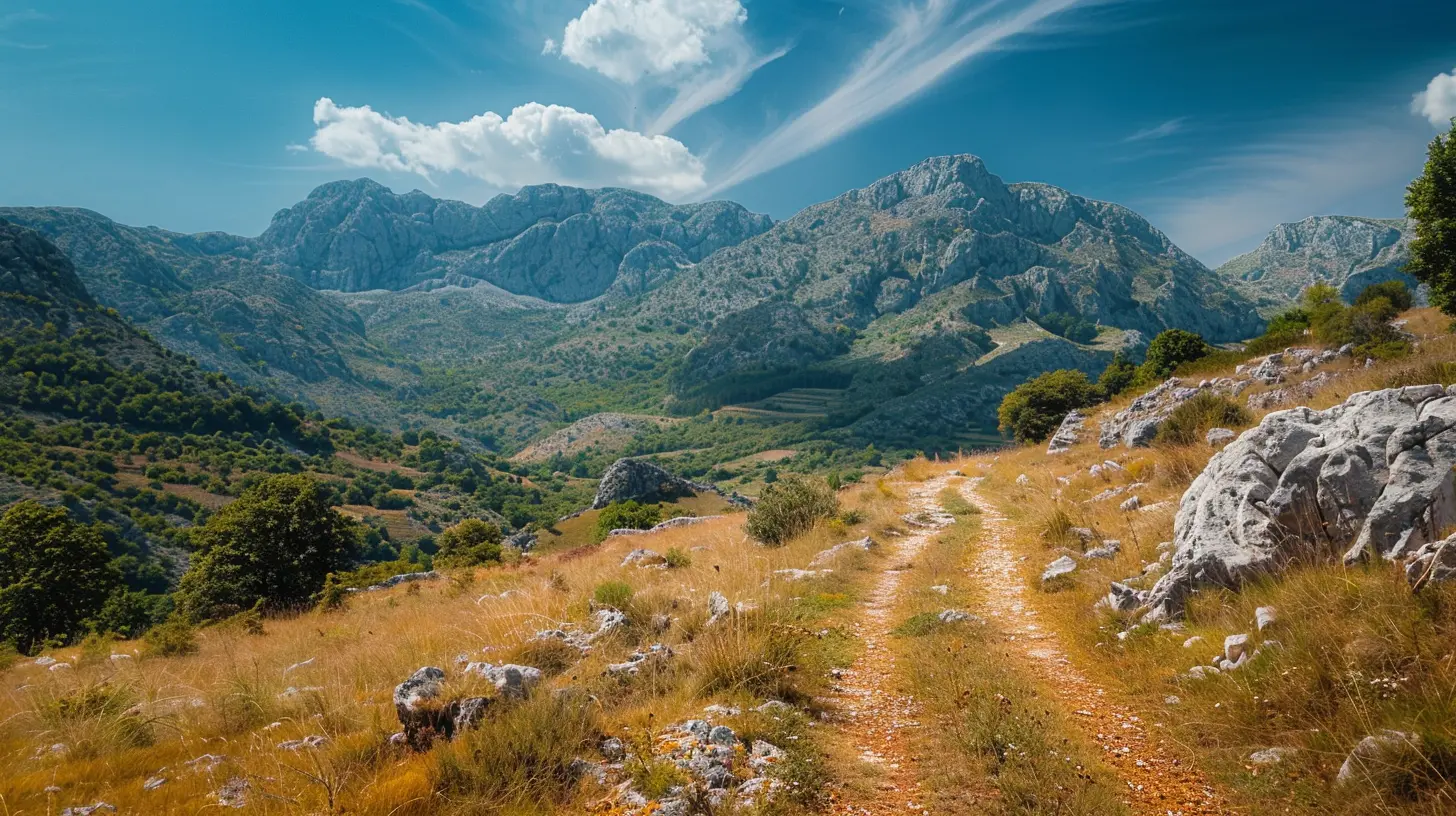
The White Trail suits experienced hikers who are comfortable with long days, significant elevation gain, and navigation in terrain where markings can be sparse. Its appeal is obvious: big views, limestone scenery, and a sense of remoteness that is increasingly rare in Europe.Its drawbacks are equally real. Water sources can be scarce on karst terrain, and the rock is sharp. Weather turns quickly. Some sections require scrambling, and a few demand genuine route-finding. If your mountain experience comes mostly from well-marked Alpine paths with huts every few hours, the White Trail will feel like a different sport.
Green Trail: Villages, Forests, and Rivers
The Green Trail is the most accessible corridor and, for many travelers, the most culturally interesting. It links rural settlements, follows river valleys, and passes through landscapes shaped by centuries of farming and transhumance.The trade-off is that the Green Trail is less dramatic. If you want summit views and alpine exposure, it will not deliver them consistently. It also involves more road walking in places, which some hikers find tedious. But for a first visit, or for anyone traveling with limited mountain experience, it offers a gentler introduction with more frequent opportunities for food, lodging, and human contact.
Blue Trail: Coast and Hinterland
The Blue Trail combines coastal mountains with the Adriatic hinterland, offering sea views and a Mediterranean feel in its southern stretches. It appeals to hikers who want variety and who value the ability to combine walking with time in coastal towns.The catch is fragmentation. Sections vary in quality and continuity, and some parts are better described as connecting routes than as a finished trail. Research current conditions carefully before committing to a long Blue Trail itinerary.
Planning a Thru-Hike Versus a Section Hike
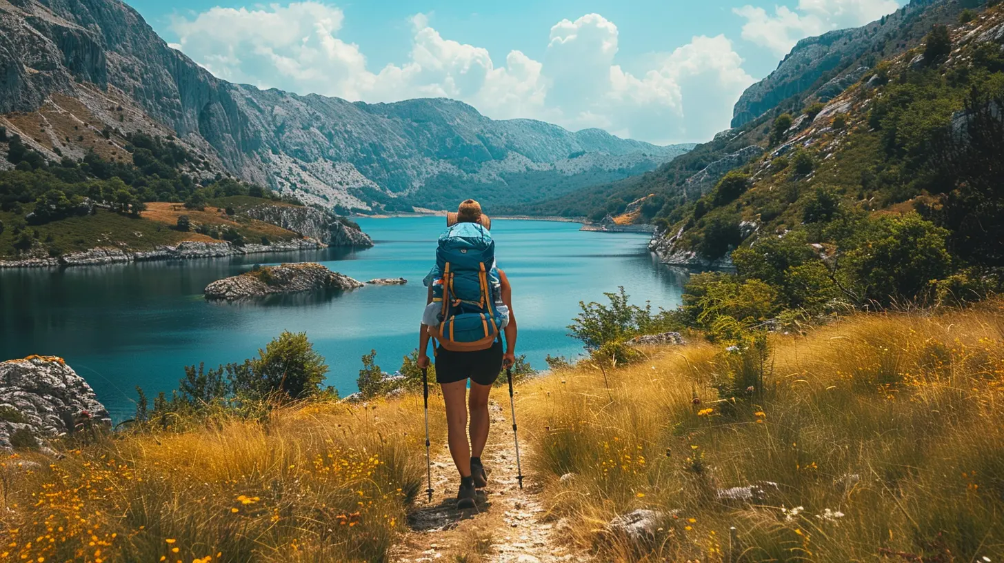
The full Via Dinarica, across all corridors, is a multi-month undertaking. Very few people complete it in one push, and there is no shame in that. Section hiking is the norm, and it is arguably the better way to experience the region.A thru-hike demands logistical planning that many hikers underestimate. Resupply points are unevenly distributed. Some villages have small shops with limited stock. Public transport between trailheads can be infrequent, and schedules change with the seasons. A thru-hiker needs to accept uncertainty and build slack into the plan.
A section hike lets you choose the best weeks of the season for the best terrain. It also lets you match difficulty to your group. A family with teenagers can spend a week on the Green Trail and have a genuinely excellent time. A fit solo hiker can spend the same week on a White Trail traverse and be equally satisfied.
The recommendation is straightforward: start with a section. Use it to learn how the trail is marked, how the villages work, and how your body responds to consecutive days. Then decide whether a longer push makes sense.
When to Go
Season choice is the single biggest determinant of a good or bad trip, and it varies by corridor and altitude.Late spring and early autumn are generally the most reliable windows. Summer works well at higher elevations, but lowland sections can be hot, and afternoon thunderstorms are common in mountainous areas. Winter is for specialists only; snow and avalanche risk close most high routes, and many rural guesthouses shut down.
There is a subtler point about water. On karst terrain, late summer can mean dry springs. A route that is fine in June may require long water carries in August. Check recent reports rather than relying on guidebooks, which age quickly on this trail.
Navigation and Waymarking Realities
Waymarking on the Via Dinarica has improved considerably, but it is not uniform. Some sections are well marked with standard trail blazes. Others rely on sporadic paint marks, cairns, or nothing at all.The practical rule is to carry a reliable offline navigation setup and know how to use it. Paper maps remain valuable as a backup, particularly in areas where phone batteries drain quickly in the cold. Do not assume that a marked route is a maintained route; markings indicate direction, not safety.
Another common misconception is that the trail is continuously connected. In reality, some links follow roads, and a few transfers require public transport or a arranged lift. Build these transitions into your daily distance estimates rather than treating them as surprises.
Accommodation and Resupply
Accommodation along the trail ranges from mountain huts and guesthouses to private rooms and, in some areas, camping. Standards vary, and so does availability. In remote villages, a guesthouse with a handful of beds may be the only option, and it may not appear on major booking platforms.The best practice is to call ahead where possible, even a day in advance. This is not just about securing a bed. It tells the host how many people to expect, which matters in places where supplies are bought fresh. It also builds the kind of relationship that leads to better advice about the next day's route.
Resupply requires realistic expectations. Small shops in villages carry a limited range. Larger towns have supermarkets. Plan your food around the assumption that you will not find specialty items, and carry a buffer of at least one extra day of food on remote sections. Water treatment is worth carrying as a habit, since not every source is reliable.
Costs and Budgeting
The Via Dinarica is generally more affordable than comparable routes in Western Europe, but costs vary widely by country and by corridor. Guesthouse prices in rural Bosnia and Herzegovina differ from prices in coastal Croatia. Mountain huts are usually inexpensive but basic.A realistic budget should include accommodation, food, occasional transport, and a contingency fund for weather delays or injury. The contingency matters more than most people expect, because changing plans in a region with limited transport can be expensive and slow.
Common Mistakes and How to Avoid Them
Several errors appear repeatedly among first-time Via Dinarica hikers.The first is overestimating daily distances. Mountain terrain in the Dinaric Alps is slow. Karst rock, overgrown sections, and navigation stops add hours. Plan conservatively for the first week and adjust once you know your real pace.
The second is underestimating exposure on the White Trail. Lack of shade, sharp rock, and sudden storms combine badly. Start early, carry more water than feels necessary, and have a bail-out plan for each day.
The third is treating the trail as a resort. Some villages have no restaurant, no shop, and no ATM. Assume cash is necessary and that services are limited.
The fourth is ignoring local advice. Village hosts, park rangers, and shepherds often know conditions better than any app. Ask, listen, and adjust.
The fifth is packing for an Alpine hut-to-hut trip. On the Via Dinarica you may need to carry several days of food and water, which changes your pack weight and your footwear choices. Test your setup on a shorter section before committing to a long one.
Cultural Respect and Environmental Responsibility
The Dinaric region carries a history that deserves acknowledgment. Borders in this part of Europe have shifted, communities have been divided, and the memory of conflict is recent in places. Travelers who show curiosity without presumption, and who avoid casual political commentary, tend to be welcomed warmly.Practically, this means asking before photographing people, respecting private land even when a path crosses it, and understanding that hospitality may come with strong opinions you are not obliged to debate. It also means leaving no trace: packing out waste, avoiding fires in dry seasons, and staying on marked paths where erosion is a risk.
Wildlife matters too. Bears, wolves, and lynx live in these mountains. Encounters are rare, but food storage discipline and noise on blind corners are sensible habits.
What to Expect by 2026
Interest in the Via Dinarica is likely to continue growing as travelers seek alternatives to heavily used routes. That growth will probably bring better waymarking, more accommodation listings, and improved transport links in some areas. It may also bring crowding to the most accessible sections and rising prices in popular spots.The strategic response for anyone planning a 2026 trip is to book early for peak season, to favor less-visited corridors, and to remain flexible. Infrastructure improvements are welcome, but they do not remove the need for self-reliance. The trail's character comes from its rawness, and the best trips are the ones planned with that in mind.
Final Recommendations
Choose a corridor before you choose a date. Match the section to your experience rather than to a bucket list. Carry navigation you can trust, water treatment, cash, and one more day of food than you think you need. Call ahead to guesthouses. Start early, walk conservatively, and spend locally.The Via Dinarica rewards hikers who treat it as a living region rather than a line on a map. Plan for 2026 with humility about the terrain and curiosity about the people, and the trail will give you something rare: a long walk through Europe that still feels like an actual journey.
all images in this post were generated using AI tools
Category:
Iconic RoutesAuthor:

Reed McFadden