Driving New Zealand’s South Island Alpine Route in 2026
7 October 2026
The South Island alpine route is not a single road. It is a loose network of passes, valleys, and lakefront highways that together form one of the most rewarding driving experiences in the Southern Hemisphere. Most visitors treat it as a checklist: fly into Christchurch, drive to Queenstown, tick off a few photo stops, fly home. That approach works, but it misses the point. The route rewards patience, planning, and a willingness to understand what the road is actually asking of you.
This guide is written for the driver who wants more than a highlight reel. It covers what changes in 2026, how to think about the major passes, where the real trade-offs sit, and the mistakes that turn a great trip into a stressful one.
What the Alpine Route Actually Is
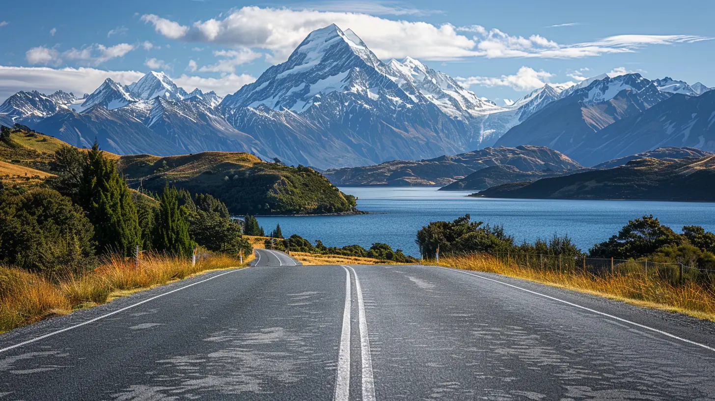
There is no official "South Island Alpine Route" stamped on any map. The phrase describes the classic corridor that links Christchurch on the east coast to the West Coast and then down through the Southern Alps to Queenstown and Fiordland. The spine of it runs through Arthur's Pass, over to Greymouth and Hokitika, south along the coast, then inland through the Haast Pass toward Wanaka and Queenstown. From there, many drivers continue to Te Anau and Milford Sound.The reason it matters is geology. The Southern Alps create a wall of weather and terrain that forces every road to thread through specific gaps. Those gaps, the passes, define your entire journey. Understand the passes and you understand the trip.
A common misconception is that this is one road you simply follow. In reality you are constantly choosing between alternatives, and each choice has consequences for time, scenery, and risk.
Why 2026 Is Different
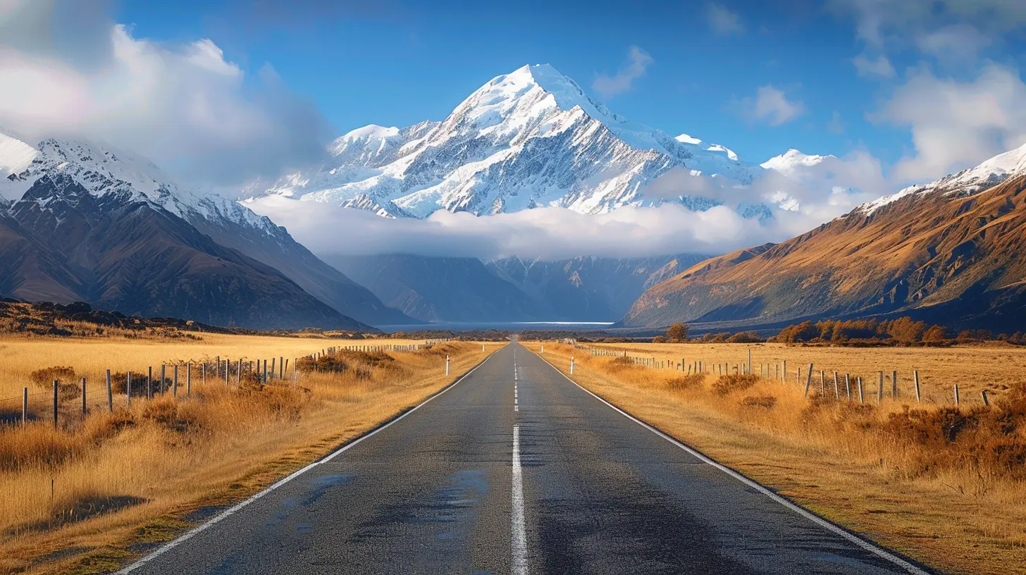
Tourism infrastructure in New Zealand has been in a state of recalibration since the pandemic. Operators have returned, but not always at previous capacity. Rental fleets have grown more modern, with a higher proportion of hybrid and electric vehicles. At the same time, some smaller towns still have limited accommodation, and booking pressure in peak season remains intense.For 2026 specifically, several practical realities deserve attention.
First, the mix of vehicles on the road is shifting. More EVs and plug-in hybrids mean charging infrastructure matters in a way it did not a decade ago. The South Island's charging network has improved, but it is not uniform. Planning around charge points is now as important as planning around fuel.
Second, road maintenance and slip repair remain ongoing concerns in alpine regions. New Zealand's geology is young and restless. Roads close. They reopen. They close again after heavy rain. This is normal, not exceptional, and any itinerary that assumes guaranteed passage is fragile.
Third, driver licensing rules and rental conditions continue to tighten around safety. If you are arriving from overseas, confirm what your license allows and what your rental agreement requires before you commit to a route that includes remote passes.
The Passes That Define the Journey
Arthur's Pass
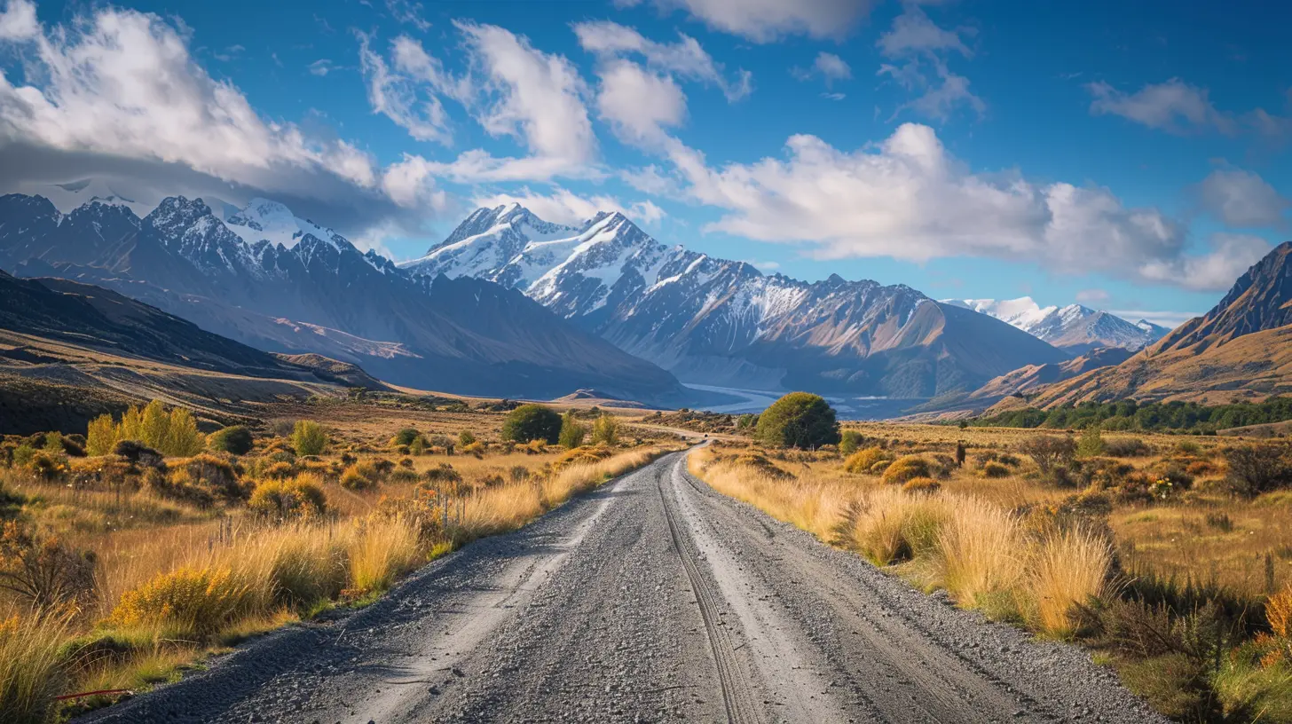
Arthur's Pass is the most direct link between Christchurch and the West Coast. It climbs through beech forest, crosses a genuinely alpine environment, and drops into the wet, green west. The road itself is well engineered, but it is not fast. Tight corners, single-lane bridges, and weather that changes within minutes make it a road that demands attention.The key insight most drivers miss is that Arthur's Pass is a weather gamble. The eastern side can be sunny while the summit is in cloud and the western side is pouring. If you are on a tight schedule, build in a buffer. If you are flexible, wait a day. The difference between driving it in clear conditions and driving it in rain is the difference between a highlight and a chore.
Lewis Pass
Lewis Pass is the northern alternative, linking Canterbury to the upper West Coast via a gentler, lower route. It is often overlooked because it is less dramatic, but that is precisely its advantage. It is more forgiving in bad weather, and it suits drivers who want a calmer introduction to alpine conditions.The trade-off is scenery. Lewis Pass is beautiful in a quiet way, but it does not deliver the raw drama of Arthur's Pass. If you have time for only one, choose based on your tolerance for weather risk rather than on reputation.
Haast Pass
Haast Pass connects the West Coast to the Otago lakes region. It is lower than Arthur's Pass and generally more reliable, but it is still a mountain road with heavy rain potential on the western side. The drive from Haast toward Wanaka is one of the great transitions in New Zealand: from dense rainforest to tussock and glacial lakes.One nuance worth understanding: the western side of Haast Pass receives enormous rainfall. This is not a reason to avoid it. It is a reason to respect it. Water on the road, fallen branches, and reduced visibility are routine. Drive to the conditions, not to the speed limit.
The Crown Range
The Crown Range road between Wanaka and Queenstown is the highest sealed road in New Zealand. It is spectacular and it is also unforgiving. Steep gradients, sharp switchbacks, and occasional ice in colder months make it a road where confidence must be earned.Many drivers take the longer route through Cromwell instead. That is a legitimate choice, not a failure. The Cromwell route is faster in practice for many vehicles, easier on brakes, and less exposed to weather. The Crown Range is worth it for the views and the experience, but only if you are comfortable with the demands.
Planning the Route Around Weather, Not Just Distance
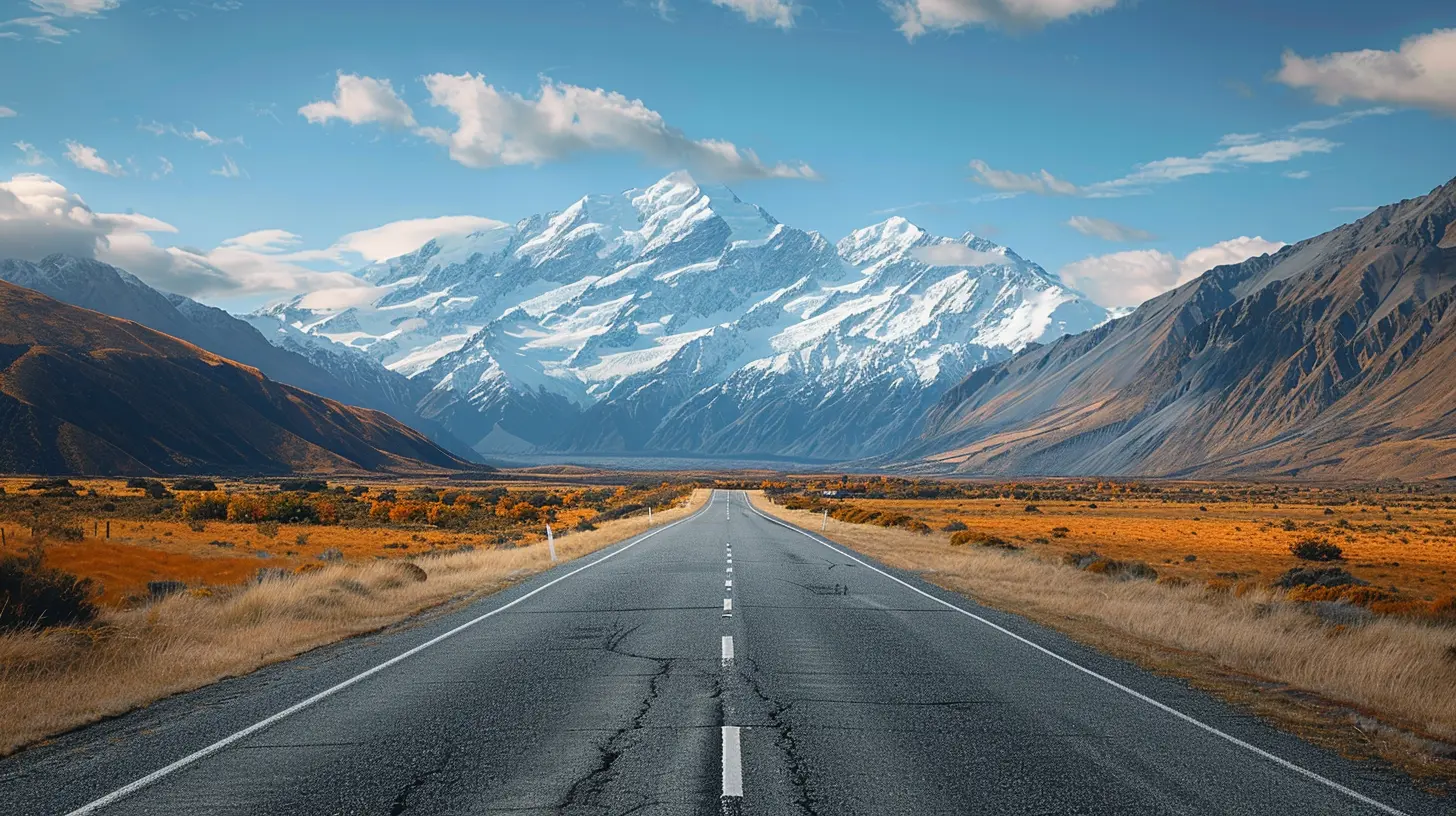
New Zealand distances are deceptive. A stretch that looks like a two-hour drive on a map can take four hours in reality. The reason is not traffic. It is terrain, weather, and the frequency of single-lane bridges and winding sections.A practical rule: assume an average speed of 60 to 70 kilometers per hour on alpine roads, and lower that in rain or when towing. This is not pessimism. It is how the roads actually behave.
Best practice is to plan your day around one major pass rather than two. Trying to combine Arthur's Pass and the Haast Pass in a single day is technically possible but rarely enjoyable and often unsafe.
Vehicle Choice: What Works and What Does Not
Vehicle selection is one of the most consequential decisions, and it is one where many travelers get it wrong.Small Cars
Small cars are fine for the main sealed route. They are cheaper, easier to park, and more fuel efficient. The limitation is comfort on long days and reduced confidence in strong crosswinds, which are common in exposed alpine sections.SUVs and Larger Vehicles
An SUV provides more comfort and a better driving position, which genuinely helps on winding roads. However, it does not make you immune to weather, and a heavier vehicle demands more from its brakes on descents. If you are not used to driving a large vehicle, a mid-size rather than a full-size SUV is often the smarter choice.Campervans
Campervans are popular and they are also the most misunderstood option on this route. They are slow on hills, affected by wind, and require planning around freedom camping rules, which have tightened considerably in recent years. If you choose a campervan, accept that your daily distance will be shorter and your flexibility around weather will be greater. That can be a fair trade, but only if you plan for it.Electric Vehicles
EVs are increasingly viable on the main route, but the alpine sections require planning. Cold temperatures reduce range. Uphill sections consume more energy than flat driving. Charging points exist in the main towns, but not at every pass. If you go electric, treat charging as a daily planning task, not an afterthought.
The Safety Realities Nobody Enjoys Discussing
New Zealand's alpine roads are not dangerous in themselves. They become dangerous when drivers bring the wrong assumptions to them.The most common mistakes are consistent.
Driving too fast for the conditions is the first. The speed limit is a maximum for ideal conditions, not a target. On wet alpine roads, the safe speed is often well below it.
Overtaking on blind corners is the second. This is a particular issue for drivers used to wide, straight highways. Alpine roads rarely offer safe passing opportunities, and impatience here has serious consequences.
Underestimating weather is the third. Fog, rain, and ice can appear without warning. Checking forecasts is useful, but local conditions can differ from the forecast within a few kilometers.
Finally, fatigue is underestimated. Long days of concentration on winding roads are more tiring than equivalent hours on a motorway. Plan shorter days than you think you need.
Where to Stay and Why It Shapes the Trip
Accommodation on the alpine route is not just a logistics question. It determines how much of the road you experience in good light and how much flexibility you have when weather turns.Staying on the west side of a pass the night before you cross it gives you the option to wait out bad weather. Staying in the middle of a long stretch forces you to push through regardless.
Small towns like Arthur's Pass village, Haast, and Fox Glacier have limited beds. In peak season, booking well ahead is not optional. In shoulder season, you gain flexibility and often better rates, at the cost of colder weather and shorter daylight.
Timing: Season by Season
Summer, from December to February, offers the longest days and the most reliable weather. It also brings the most traffic and the highest prices. Booking pressure is real, and popular stops can feel crowded.Autumn, from March to May, is arguably the best compromise. Weather is still generally stable, crowds thin, and the light is often better for photography. Some services reduce hours, so check ahead.
Winter, from June to August, transforms the route. Snow can close passes, and ice is a genuine hazard. This is not a season for casual drivers, but for those prepared and flexible, it offers a completely different experience.
Spring, from September to November, brings unpredictable weather and fewer crowds. It is a good season for drivers who value flexibility over guarantees.
The Fiordland Extension
Many drivers continue from Queenstown to Te Anau and then to Milford Sound. This is a separate decision with its own logic. The road to Milford is spectacular but it is also a long day from Te Anau, and weather in Fiordland is extreme even by New Zealand standards.The key question is whether to drive yourself or take a coach. Driving gives you freedom to stop. A coach removes the stress of a demanding road and often includes commentary. Both are valid. The mistake is treating the Milford road as a casual add-on rather than a full day that deserves its own planning.
Practical Habits That Make the Trip Work
Several habits separate a smooth trip from a difficult one.Fuel up whenever you can in towns, even if you are not low. Remote stretches have no services.
Carry water, food, and warm layers. A road closure can mean waiting.
Download offline maps. Cell coverage is patchy in alpine areas.
Check the New Zealand Transport Agency journey planner and local road conditions before each major pass.
Drive in daylight. Night driving on alpine roads multiplies risk.
Common Misconceptions Worth Dropping
The idea that the route is a single road is the first. It is a network with choices.The idea that a bigger vehicle equals more safety is the second. Skill and judgment matter more than size.
The idea that weather forecasts are reliable in alpine terrain is the third. Use them as guidance, not guarantees.
The idea that you can see everything in a week is the fourth. You cannot. Choose less and experience more.
Final Thoughts
Driving New Zealand's South Island alpine route in 2026 is less about covering ground and more about reading conditions. The passes are the story. The weather is the editor. Your job is to work with both rather than against them.If you plan around one major crossing per day, respect the weather, choose a vehicle that matches your comfort level, and build in slack, you will experience something rare: a road that feels genuinely earned. That is the real reward of this route, and it is available to any driver willing to slow down enough to notice it.
all images in this post were generated using AI tools
Category:
Iconic RoutesAuthor:

Reed McFadden