A Photo Journey Along France’s Route des Grandes Alpes in 2026
5 September 2026
There is a difference between driving through the Alps and actually seeing them. Most people do the first. They take the tunnel, they follow the valley floor, they catch a glimpse of a peak between two concrete barriers, and they call it a mountain trip. The Route des Grandes Alpes does not allow that kind of laziness. It forces you up and over the passes, one after another, until your ears pop, your brakes smell hot, and your camera memory card is begging for mercy.
This is not a road. It is a sequence of decisions. Every pass is a gamble with weather, traffic, and your own nerve. And in 2026, with the Tour de France likely to weave through parts of the same terrain and electric vehicles becoming more common on these climbs, the experience will be different from what it was even five years ago. Let me walk you through what actually awaits you, pass by pass, with the kind of detail that guidebooks usually skip.
What the Route Actually Is (and What It Is Not)
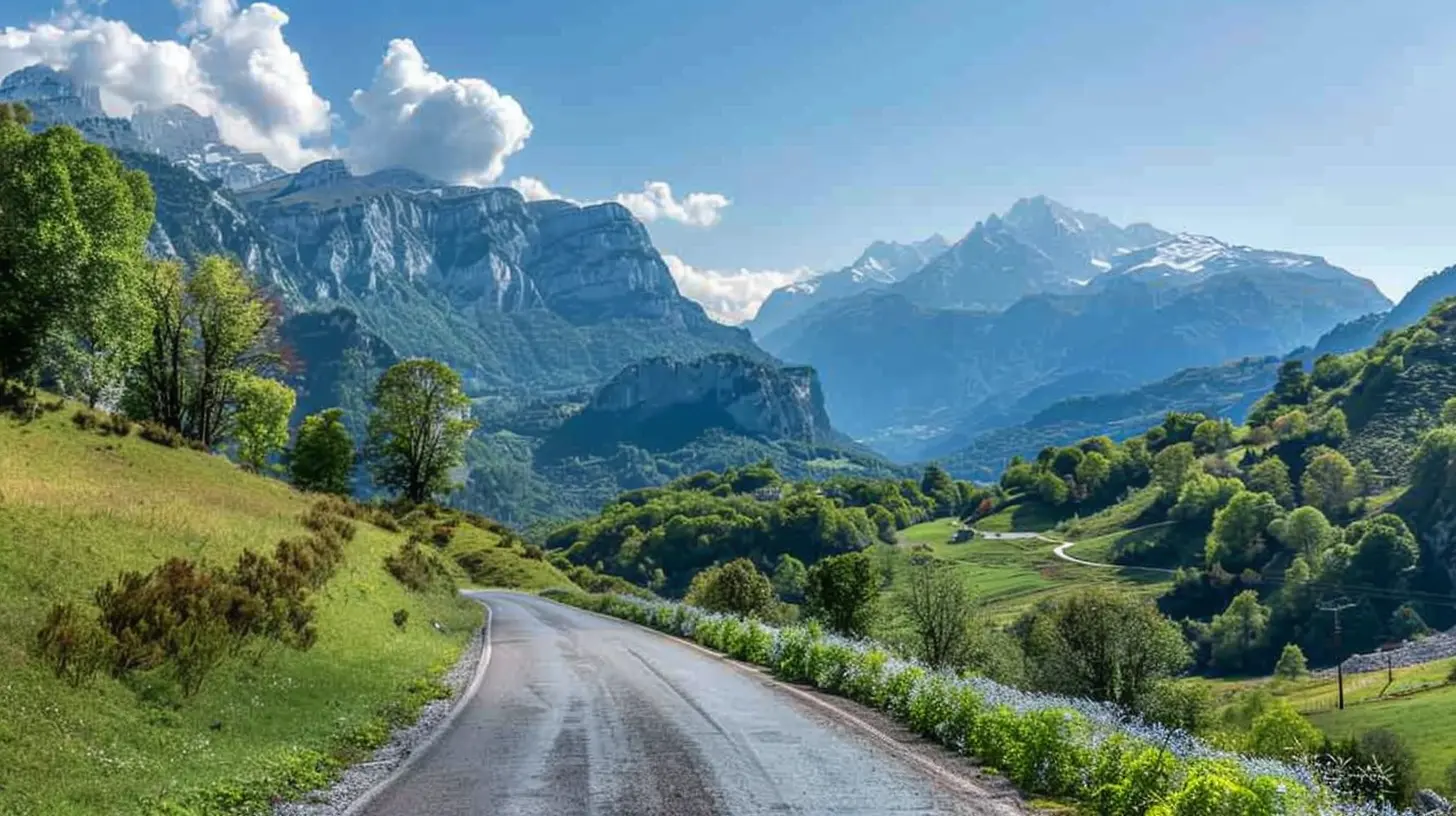
The Route des Grandes Alpes is a roughly 720-kilometer ribbon that connects Lake Geneva (Thonon-les-Bains) to the Mediterranean (Nice). It crosses 16 classic mountain passes, including the Col de l'Iseran, which at 2,764 meters is the highest paved road pass in the Alps. The route is not a single highway number. It is a themed itinerary, signposted with a distinctive red and white logo, that stitches together departmental roads across the Savoie, Hautes-Alpes, and Alpes-Maritimes regions.Here is the first misconception to kill: this is not a quick scenic drive. The route takes a minimum of four days if you are disciplined and do not stop. Realistically, you need six to eight days to do it justice, and that is without hiking. If you want to photograph properly, add two more days. The route is about 720 kilometers, but the elevation gain is over 18,000 meters. To put that in perspective, that is climbing Mount Everest twice, from sea level, just by driving.
The route is also not a loop. You start at one end and finish at the other. That means you need a plan for your vehicle and your luggage. Most people start in the north and head south, which puts the sun behind you in the afternoon and lets you finish with the dramatic descent into the Côte d'Azur. Going south to north is possible, but you will face the sun in your eyes for much of the day, and the final approach to Lake Geneva feels anticlimactic after the high passes.
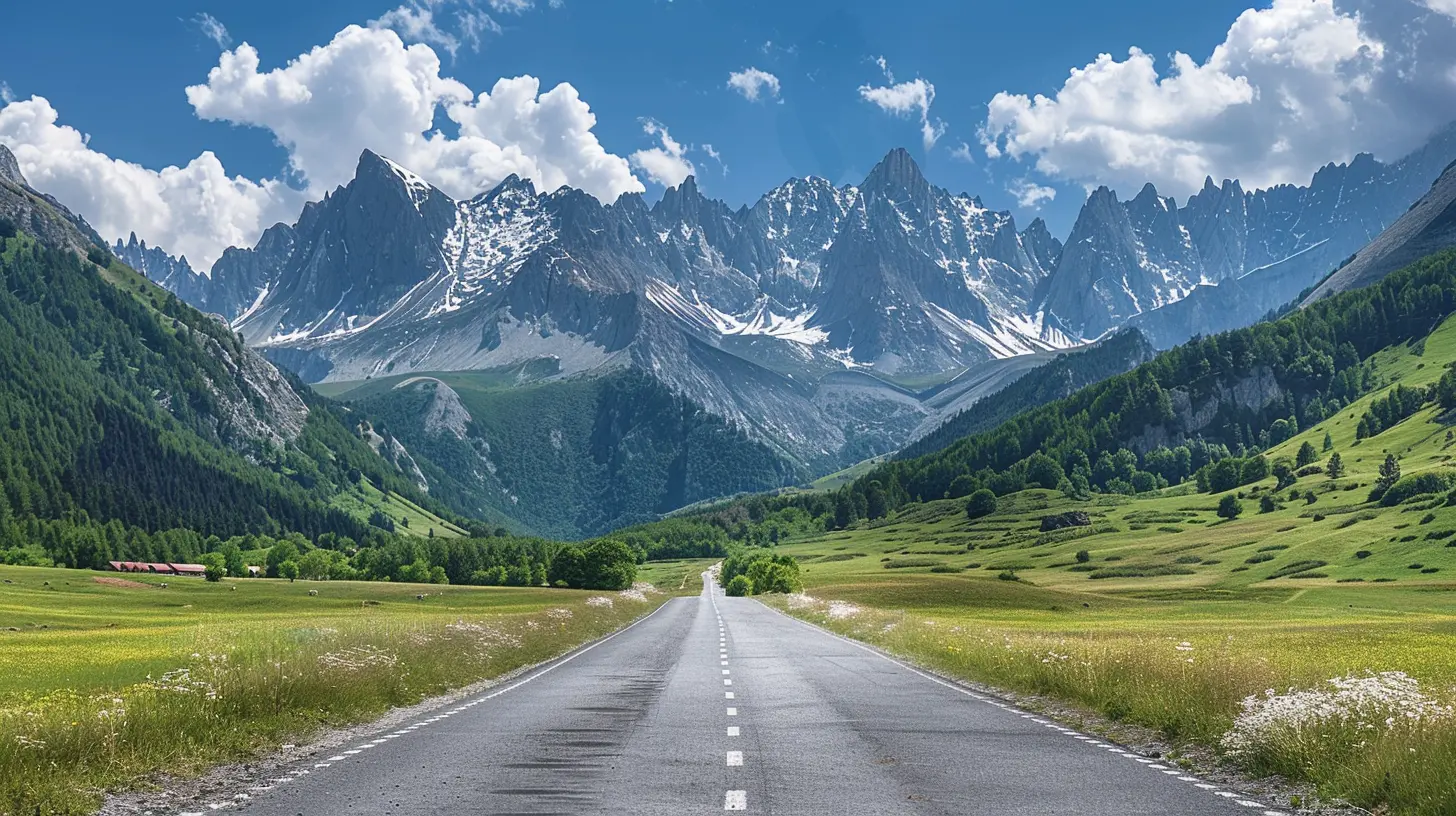
The 2026 Factor: What Has Changed
You need to know about a few things before you set out in 2026. The first is the cycling calendar. While the exact route of the Tour de France is not fully locked for 2026 at the time of writing, the race frequently uses the Col du Galibier, the Col de la Croix de Fer, and the Col de la Bonette. If the Tour passes through, expect road closures and crowds on specific dates in July. Do not assume you can just drive through. Check the official race route as soon as it is announced in late 2025, and plan your itinerary around those dates. A day of waiting is annoying. A day of being stuck behind a caravan of publicity vehicles is a nightmare.The second factor is electric vehicles. France has been installing charging stations in mountain villages, but the coverage is still uneven. On the Route des Grandes Alpes, the passes themselves have no chargers. The valleys do, mostly. If you are driving an EV, you need to plan for range carefully. A full charge at the base of a pass will not get you to the top and back down with the same efficiency as a petrol car, because the climb drains the battery quickly. The descent will regenerate some charge, but not all. The rule of thumb is to charge whenever you see a station, even if you do not need it. The stations in Bourg-Saint-Maurice, Briançon, and Barcelonnette are your lifelines. Do not rely on the small village chargers; they are often occupied or out of order.
The third factor is traffic. The route has always been popular with motorcyclists and sports car owners, but in recent years, the number of campervans and rental motorhomes has exploded. A campervan on the hairpins of the Col de la Lombarde is a stressful experience for everyone involved. If you are in a large vehicle, you will be slow, and you will hold up traffic. If you are in a sports car, you will be frustrated. The best solution is to start early. Leave your accommodation by 7 a.m. and you will have the passes mostly to yourself until around 10 a.m., when the tour buses and day-trippers arrive.
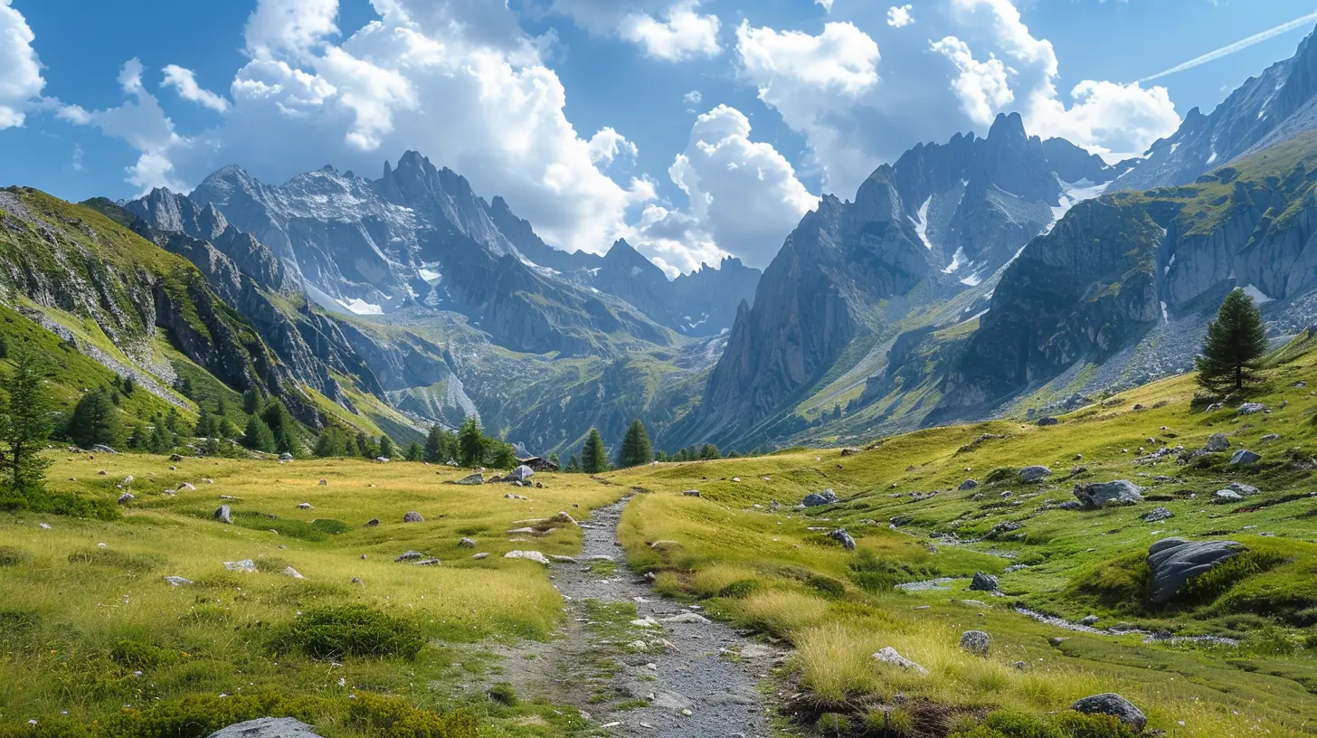
The Passes That Matter Most (and How to Photograph Them)
You cannot photograph all 16 passes equally well. Some are forgettable. Others are iconic. Here is the breakdown of the ones that deserve your attention, and the specific mistakes to avoid at each.Col des Gets and Col de la Colombière: The Warm-Up
These are the first two passes if you start from the north. They are low by Alpine standards, around 1,500 meters, and they serve as a gentle introduction. The Colombière is the more scenic, with a long, open valley approach that gives you wide-angle views of the Aravis range. The mistake here is stopping at the first viewpoint you see. The best shot is actually from the hairpin at the top, looking back down the valley, where you can frame the road curving beneath the peak of Pointe Percée. Wait for the light in the late afternoon, when the limestone cliffs glow warm. In the morning, they are flat and gray.Col de la Croix de Fer: The Underrated Giant
The Croix de Fer is often overlooked because the Galibier steals the headlines. That is a mistake. This pass is longer, steeper in parts, and far less crowded. The approach from the north, through the Maurienne valley, is a steady grind through forest and then barren rock. The summit itself is not photogenic. The best photographs are taken about three kilometers before the top, where the road cuts across a vast scree slope and the glacier of the Grandes Rousses appears on the horizon. Use a telephoto lens here. A wide shot will look like a gray mess. The compression of a 200mm lens will stack the mountain layers and give you a proper sense of scale.Col du Galibier: The Icon, but with Caveats
The Galibier is the most famous pass on the route, and it is also the most difficult to photograph well. The summit is a barren moonscape. The panoramic views are spectacular, but they are also overwhelming. The problem is that the summit is always crowded. By 10 a.m. in July, there are dozens of cars, motorcycles, and bicycles. The tour buses disgorge people who take selfies and leave. The result is a chaotic foreground.The solution is to photograph the summit from below. Stop at the Plan du Lac, about four kilometers before the top, and shoot the road as it zigzags up the barren hillside. You can frame the road with the summit tunnel in the distance. That shot tells the story of the climb better than any view from the top. Also, consider staying at the refuge near the summit overnight. The light at sunrise, before the crowds arrive, is a different world. The rock faces turn orange, and the silence is absolute.
Col de l'Iseran: The Highest Point
At 2,764 meters, the Iseran is the roof of the route. The pass is closed from roughly October to June, so your window is narrow. The approach from the north, from Val d'Isère, is dramatic because you climb from a ski resort into a stark, lunar landscape in about twenty minutes. The summit has a small chapel and a statue, which are the obvious photographic subjects. But the better shot is from the southern side, where the road descends in a series of long, sweeping curves across a vast plateau. This is where you can capture the road as a ribbon of asphalt against the emptiness.A practical note: the air is thin up here. If you are not used to altitude, you will feel dizzy and short of breath. Take your time. Walk slowly. Do not run to get a better angle. I have seen people faint at this summit because they rushed. Also, the weather changes fast. A clear morning can turn into a snow squall by noon, even in July. Always carry a warm layer and a rain jacket, regardless of the forecast.
Col de la Bonette: The Misleading Loop
The Bonette is often cited as the highest paved road in Europe because of a loop at the top that takes you to 2,802 meters. But the actual pass, the point where you cross the watershed, is lower. The loop is a tourist gimmick, but it is a good one. The views from the loop are immense, stretching across the Mercantour National Park to the Italian border.The mistake here is photographing the loop itself. It looks impressive on a map, but from the ground, it is a confusing jumble of asphalt that does not translate well into a two-dimensional image. Instead, photograph the approach to the loop from the north. The road climbs in a straight line for several kilometers, giving you a classic "road to the sky" composition. Use a polarizing filter to deepen the blue of the sky and make the clouds pop.
Col de la Lombarde and the Final Descent
The Lombarde is the last major pass before you drop to the Mediterranean. It is also one of the least visited because it is slightly off the main tourist track. This is a blessing. The pass is quieter, and the views are raw. The summit is on the French-Italian border, and you can see the road winding down into Italy. The best photograph here is of the border marker itself, with the Italian side falling away steeply behind it.The descent to Nice is a long, winding affair that takes you through the gorges of the Vésubie and then down to the coast. The transition is jarring. One moment you are in pine forests, the next you are in olive groves, and then suddenly you are in the traffic of the Promenade des Anglais. The final section is not photogenic. Do not try to make it so. Instead, save your energy for the view from the Col de Vence, which appears just before Nice. On a clear day, you can see the Mediterranean and the mountains in the same frame. That is the perfect closing shot.
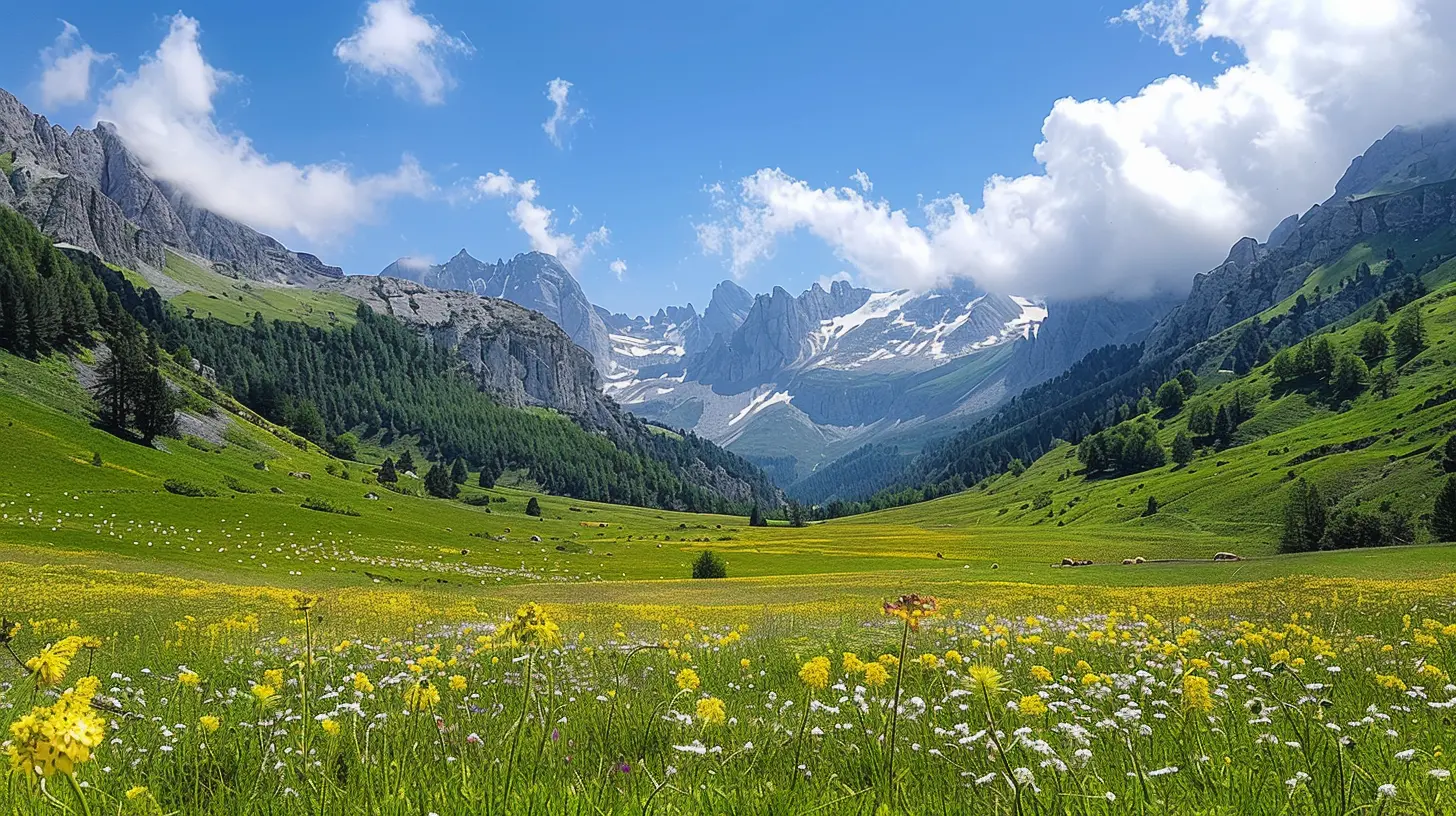
Practical Advice for the Photographer
This is where I want to be blunt. You do not need a professional camera to get great images on this route. A modern smartphone with a good ultrawide lens will handle 90 percent of the shots. What you need is patience and an understanding of light.The worst thing you can do is shoot in the middle of the day. The high-altitude sun creates harsh shadows and washed-out colors. The best light is in the first two hours after sunrise and the last two hours before sunset. This means you need to plan your driving schedule around the light, not the other way around. Drive in the morning to reach a pass by late afternoon. Spend the middle of the day in a valley town, having a long lunch. This is not a waste of time. It is the only way to get photographs that are not mediocre.
Another common mistake is ignoring the weather forecast. In the Alps, the weather is local. You can have sunshine in one valley and a thunderstorm in the next. Use a mountain weather app that gives forecasts by altitude, not just by town. If the forecast says thunderstorms at the Galibier in the afternoon, do not go. You will be above the tree line, exposed to lightning, with nowhere to hide. That is not a risk worth taking for a photograph.
The Vehicle Question: What Should You Drive?
This is a subject of endless debate. Let me settle it with practical logic.A sports car is fun on the empty passes in the early morning, but it is a liability on the narrow, bumpy sections near the end of the route. The suspension is too stiff, the ground clearance is too low, and you will be grinding the bumper on the drainage dips that appear without warning.
A motorcycle is ideal for the riding experience. You feel the altitude changes, you lean into the corners, and you can stop anywhere. But a motorcycle is terrible for photography. You cannot carry a tripod, a change of lenses, or even a proper jacket if the weather turns. If you are serious about images, a motorcycle is the wrong choice.
A campervan gives you freedom and a bed, but it is a burden on the passes. You will be the slow vehicle holding up a line of cars, and you will stress about parking at every viewpoint.
The best choice is a small, comfortable hatchback or station wagon. Something with a petrol engine, if you can find one, because the altitude makes turbo diesels feel sluggish. It should have enough power to overtake slow traffic on the few straight sections, and it should have a roof rack for a spare tire, because punctures are common on the rough edges of the mountain roads. A small car also lets you park in the tiny pullouts that are too small for SUVs. You will thank yourself when you see a line of ten cars waiting for one parking spot at the Galibier, and you simply slide into a space at the front.
Common Mistakes and How to Avoid Them
The biggest mistake is trying to do the route in three days. You will spend all your time driving, and you will see nothing. The second biggest mistake is booking accommodation in advance for every night. This locks you into a schedule. If the weather is bad at a pass, you have to move on anyway because your hotel is waiting. Instead, book the first and last nights, and leave the middle flexible. Use a phone app to book same-day in the villages. There is almost always a room available in June and September, which are the best months to go. July and August are crowded, and the prices are higher.Another mistake is ignoring the one-way sections. Some of the passes have temporary traffic lights that allow only one direction at a time because the road is too narrow for two cars to pass at certain points. These are common on the Iseran and the Bonette. They are not a big deal if you are patient, but they can add twenty minutes to your journey. Factor that into your schedule.
Finally, do not forget the basics. Bring cash. Many of the small mountain cafés and souvenir shops do not accept cards. Bring a physical map. The mobile signal is patchy, and the GPS will sometimes take you on a logging road that leads nowhere. And bring a paper notebook to record the names of the passes and the times you crossed them. You will forget the details by the end of the trip, and your photographs will be better if you can caption them accurately.
The Real Reason to Go in 2026
Let me be honest with you. The Route des Grandes Alpes is not a secret. It has been a tourist attraction for over a century, since the first automobiles chugged over the passes in the 1920s. You will not find empty roads or undiscovered viewpoints. What you will find is a landscape that demands your full attention, and that is increasingly rare.In 2026, the route will be busier than ever. Electric cars will be more common, but the charging infrastructure will still be catching up. The Tour de France will bring crowds. The climate will be a little warmer, and the glaciers will be a little smaller. But the mountains will still be there, and the road will still twist over them, and the light will still be golden in the late afternoon.
The reason to go is not to check off a list of passes. It is to stand at the top of the Galibier at 8 a.m. with no one else around, listening to the wind, and understanding why people have been drawn to these places for generations. You cannot get that from a photograph. You have to be there.
So plan your trip. Give it a full week. Pack your camera and your patience. And when you are standing at the summit, looking down at the road you have just climbed, take a moment to put the camera down and just look. That is the shot you will remember.
all images in this post were generated using AI tools
Category:
Iconic RoutesAuthor:

Reed McFadden
Discussion
rate this article
2 comments
Carina McGuffey
What a beautiful journey! The stunning landscapes truly capture the heart and spirit of France.
October 3, 2026 at 3:49 AM
Reed McFadden
Thank you! I'm glad you enjoyed it. France's landscapes are truly magical.
Zephyra Reyes
Buckle up, folks! The Route des Grandes Alpes is like a roller coaster for your eyes, and in 2026, you'll want to bring a camera and snacks-because those views are as appetizing as they are breathtaking!
September 11, 2026 at 4:59 AM